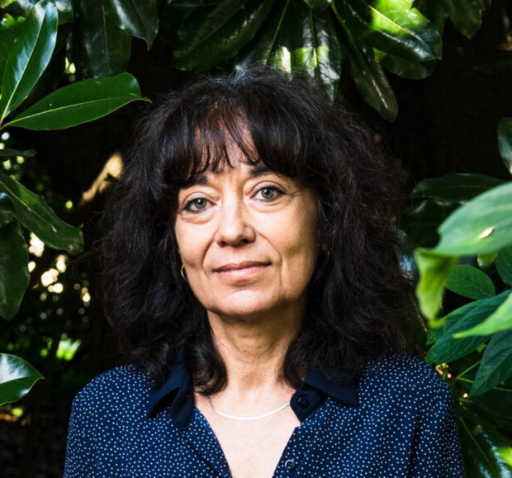
Research team
Biodiversity, Remote Sensing and Territories / UMR 1201 Dynafor (Dynamics and Ecology of Agriforestry Landscapes) INRA (National Agricultural Research Institute) / INPT (National Polytechnic Institute of Toulouse)
Areas of Research / Development / Consulting
Remote sensing and Geographic Information Systems applied to: monitoring vegetation dynamics, assessing forest vulnerability, developing indicators of vegetation sensitivity to fire risk, monitoring changes in land use
Subjects taught
- Ecology
- Digital cartography
- Remote sensing
Publications
- Chéret V.,Denux J.P., 2011. Analysis of MODIS NDVI Time Series to Calculate Indicators of Mediterranean Forest Fire Susceptibility. GIScience & Remote Sensing, 2011, 48, No. 2, p. 171–194. DOI: 10.2747/1548–1603.48.2.171.
- Chéret V.,Denux J.P., Gacherieu C., Ortisset J.P., 2011. Utilisation de séries temporelles d’images satellitales pour cartographier le dépérissement des boisements résineux du Sud Massif Central. RDV techniques n°31 – ONF, p.55-62.
- Lambert J., Jacquin A., Denux J.P., Chéret V.,2011. Comparison of tow remote sensing time series analysis methods for monitoring forest decline. 6th International Workshop on the analysis of Multi-temporal Remote Sensing Images, University of Trento, Italy.
- Jacquin A., Chéret V.,Balent G., Sheeren D., 2011. Détermination du régime des feux en milieu de savane à Madagascar à partir de séries temporelles d’images MODIS. International Journal of Remote Sensing, vol. 32, number 24 (December 20, 2011), pp. 9219–9242.
- Lambert J., Denux J.P., Jacquin A., Chéret V., 2012. Detection of clear-cuts using decomposition of NDVI-MODIS time series and breakpoint detection. ForestSAT 2012, September 11–14, Oregon State University, Corvallis, Oregon, USA.
Training
PhD in Plant Ecology
